This was an exciting chase day in my own back yard. I thought I’d put a bit of a write up together detailing the storm chase. My mother Carol was in the passenger seat for this chase and did a great job as co-pilot
The area we chased was a secondary target as the ingredients for tornadoes were higher closer to the U.S border between Val Marie and Coronach. Since I live in Leader (and used to work in the Gas Patch around Golden Prairie) I thought it best to stay closer to home and keep an eye on the potentially dangerous storms in this area.
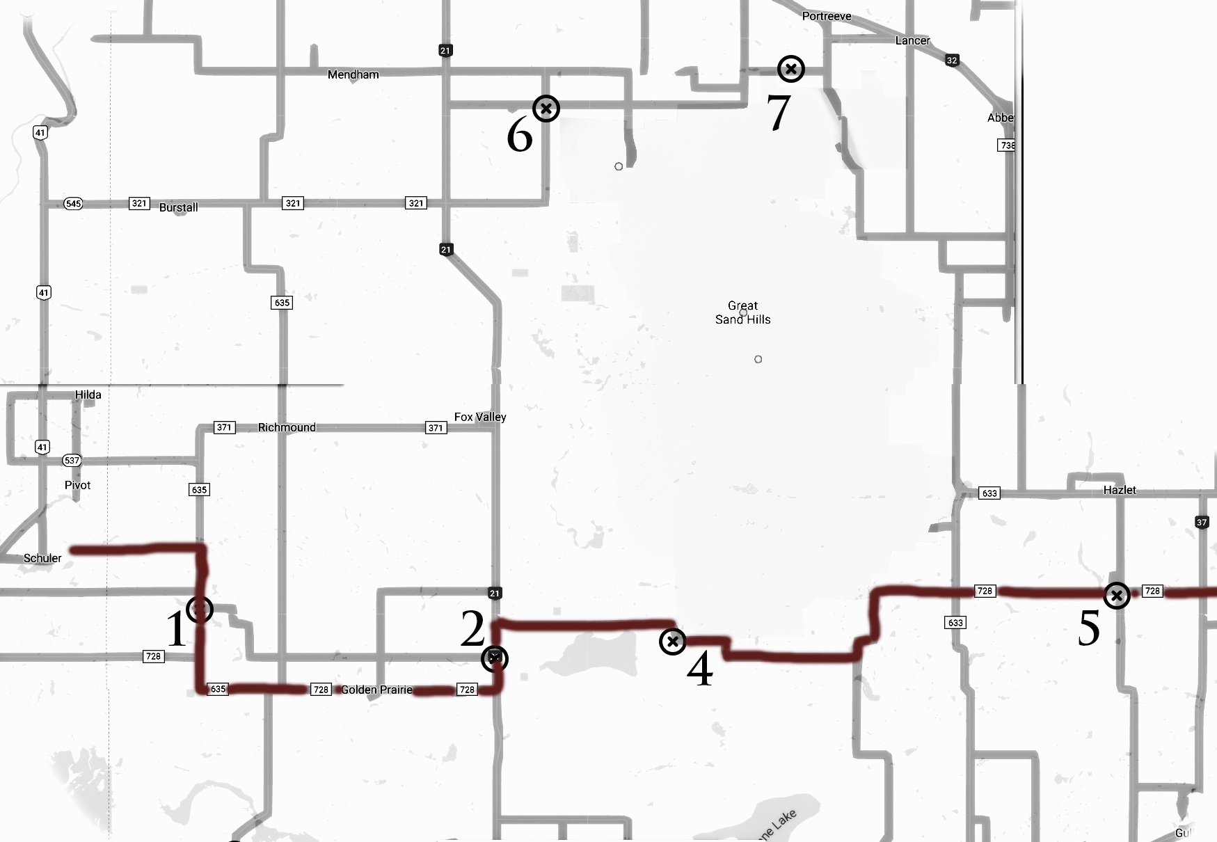
I knew the Great Sandhills could prove troublesome as there are no roads (adequate for storm chasing) through the very large protected area. I printed out a map with google co-ordinates in an email so we could easily pick our next destination with the touch of a finger. The storms were going to be moving fast – this map ended up being a very good idea.
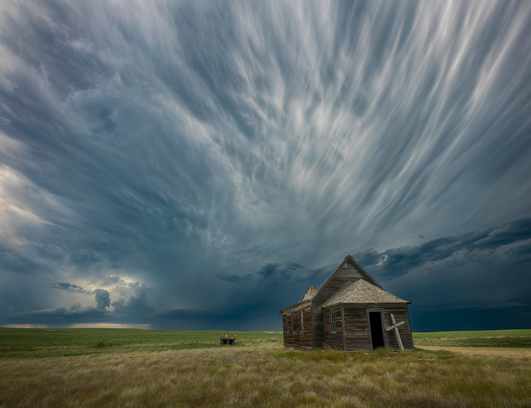
On our way to the target area I stopped for a quick picture of the old church with a brewing storm in the background. This shot marked the 12th year I’ve photographed the old church, now in its 99th year. This photo is available for purchase by clicking here
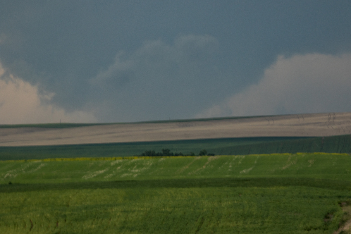
We headed towards Schuler Alberta to set up to start. On the way there we saw a wall cloud which I described to my mother as a “Textbook Wall Cloud” in my best Reed Timmer voice.
We went down a hill (yes, not a typo, a hill in Saskatchewan) and as we came up the other side of the valley the wall cloud was no longer there.
Instead this is what we saw.
This sure looked like a wedge Tornado off in no man’s land West of Schuler. Called wedges because they are as wide as they are tall, they are the biggest baddest of the tornadoes. Feared in places like Oklahoma for good reason, they can be miles wide at the base and absolutely level whole towns.
Radar screen shot from the same time. Those are multiple, strong supercells stacked above one another onthe left roaring across the prairies in formation.
3:30 pm we stopped for a quick shot of the rapidly rotating wall cloud, posted to twitter using the #skstorm hashtag which Environment Canada monitors during thunderstorms. 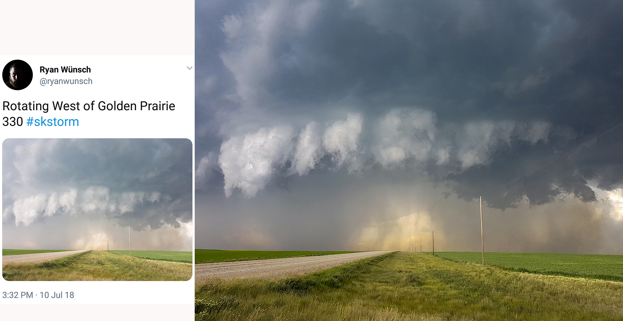
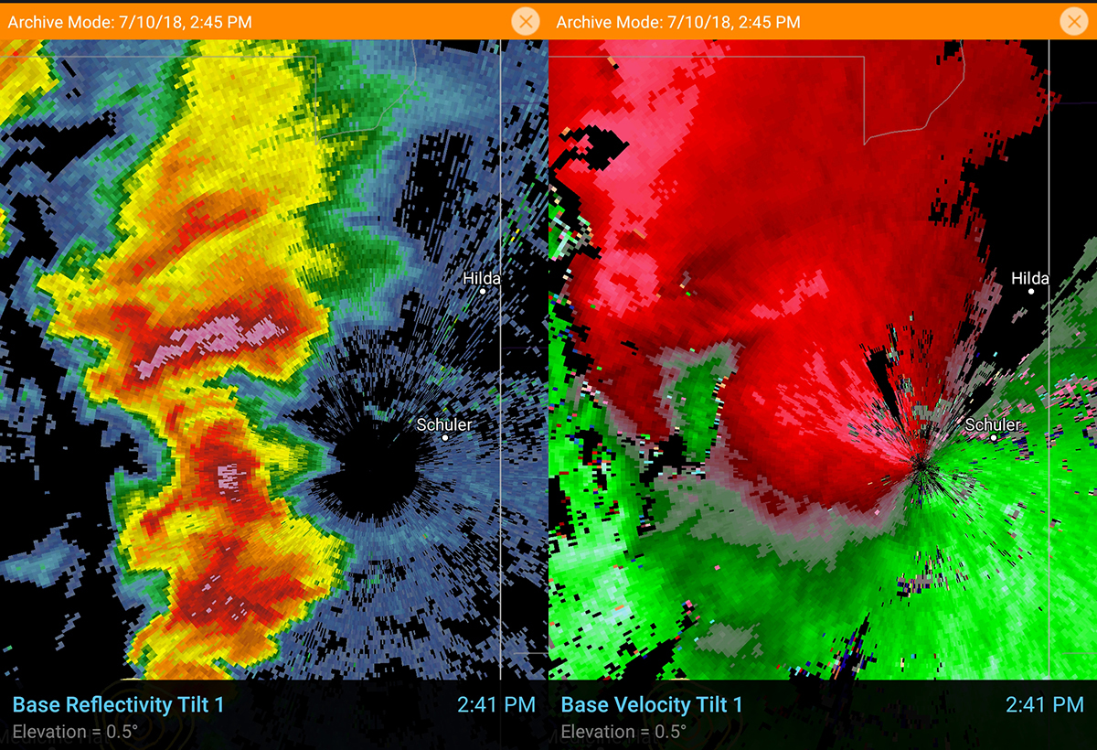
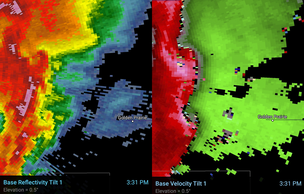
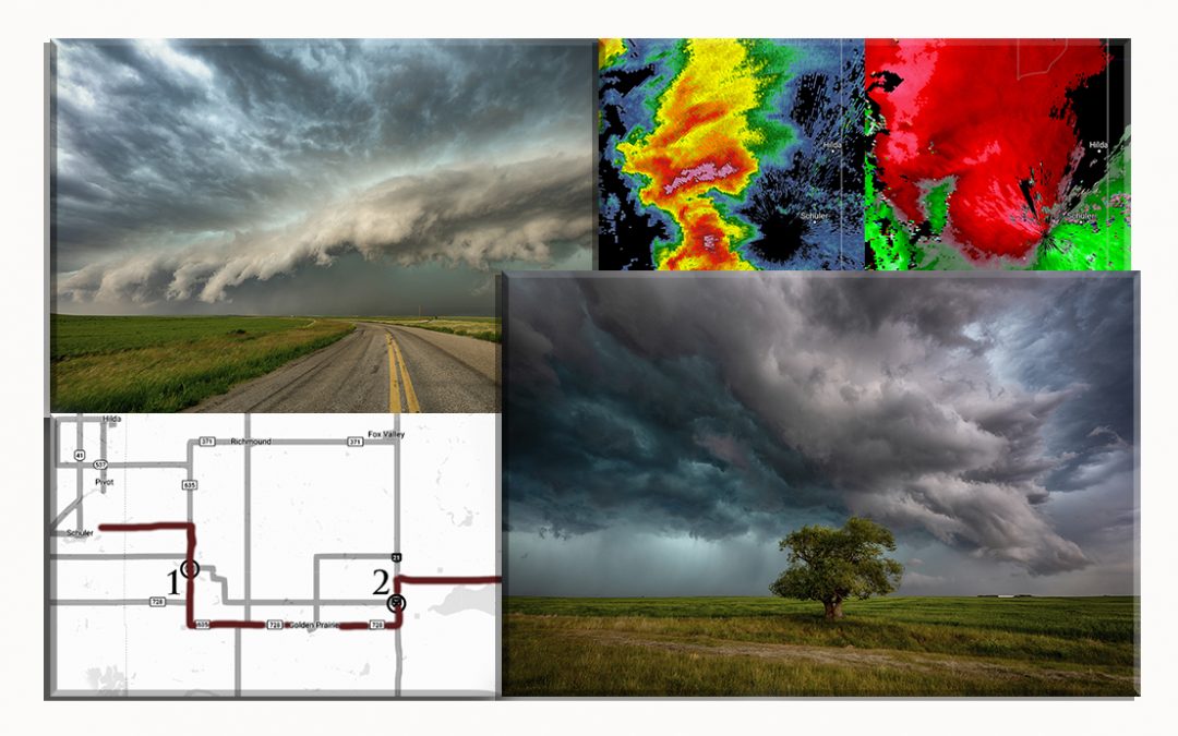
Screen shot of the radar that very minute, velocity on the right. You don’t need to know how to read radar to see 2 areas of strong rotation present in the velocity scan, one on top of each other. Also notice the orange and yellow hook feature on the reflectivity scan on the left. It is making a loop where the tornado damage occured. Seeing that circle hook on radar during a tornado doesn’t happen often.
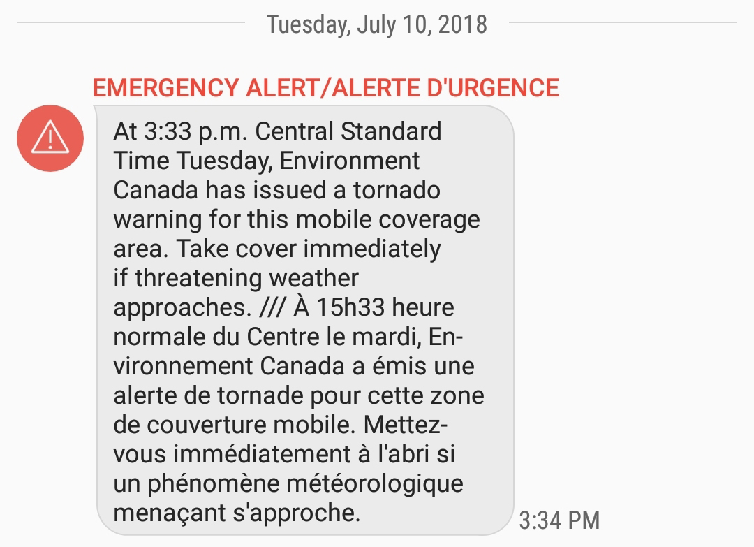
3:33 pm both of our phones started screaming an ominous tone. First tornado warning of the day (I received 4 in total based on my location) Reports of tornado on the ground. These automated warnings direct to the phones in the area have been working great for me, so glad we have them this year. They can save a lot of lives.
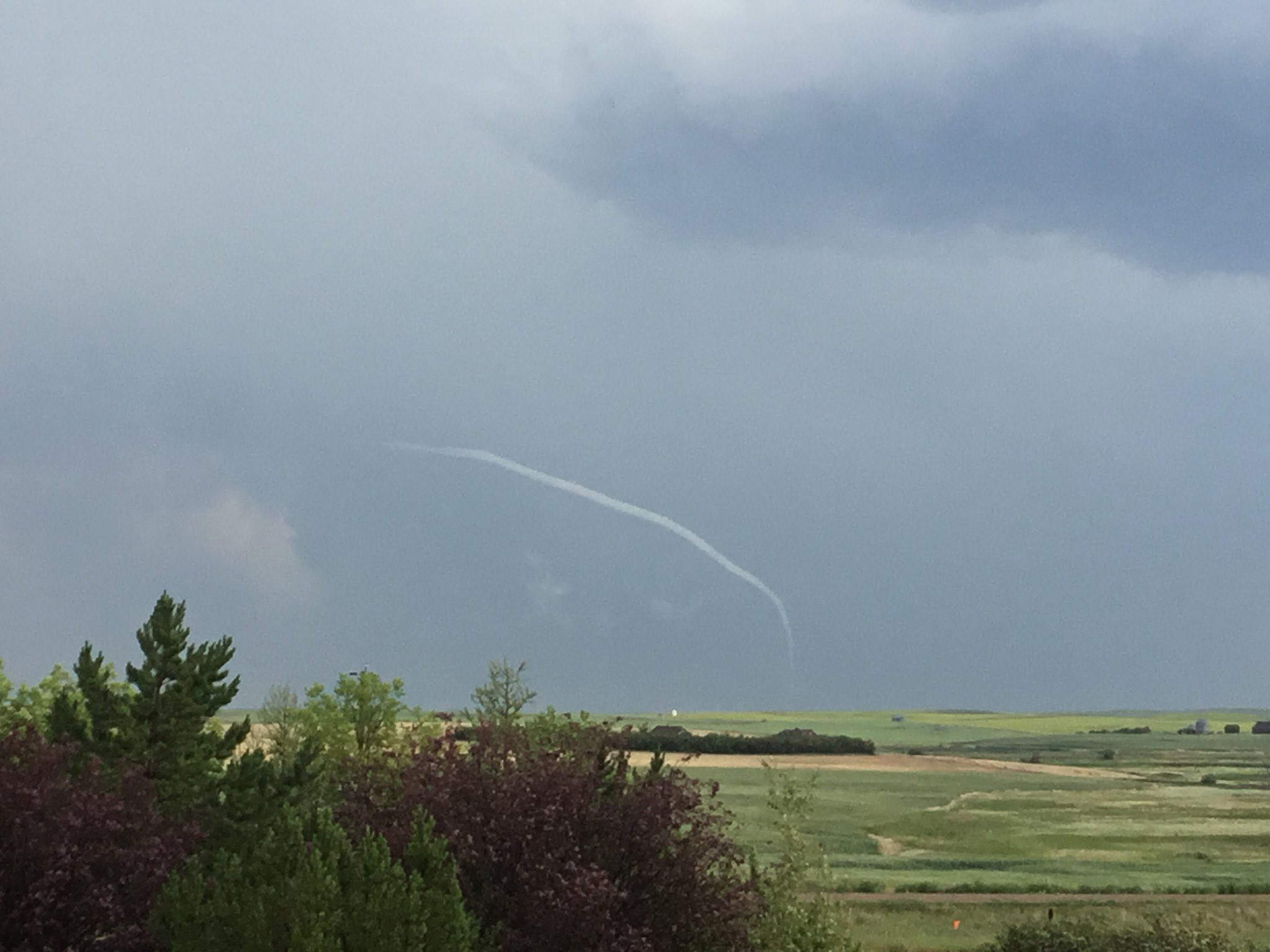
A shot of a tornado posted to twitter taken from 2 km N of Schuler facing S.E taken by Marianne Wells and used with permission.
The weather summary posted the next day with tornado time at 3:30 pm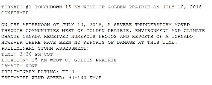
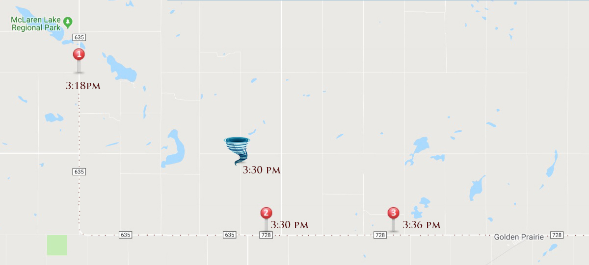
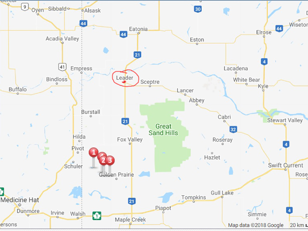
A map of the area showing the farm yard that took a direct hit (Stay tuned for part 2 of this series for more on that) as well as my photo locations with timestamps.
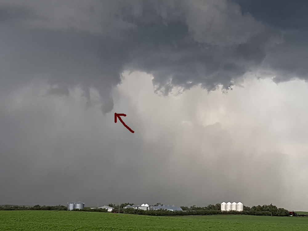
336 pm – looked like a tornado in the rear view. By the time I got safely pulled over there was just this nub in the sky rotating swiftly.
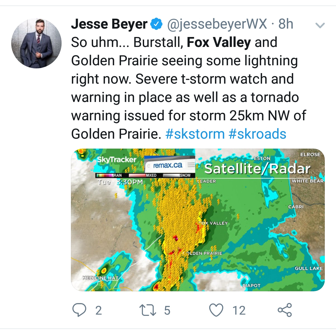
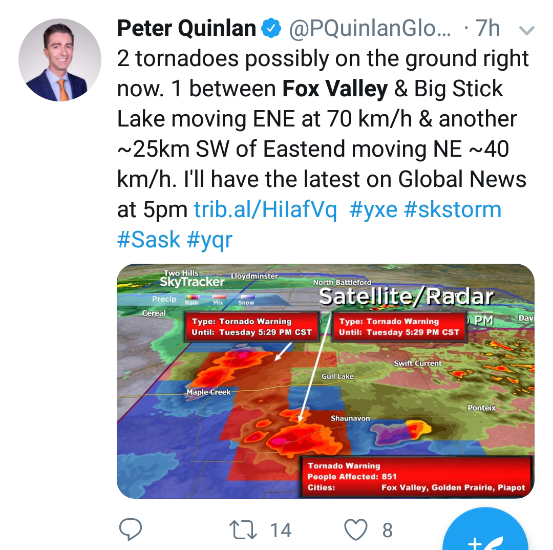
3:43 pm – Chief Meteorologist for Global Edmonton with an update
3:49 – I had to stop for this photo with my big camera “Highway to Hail” (available for purchase by clicking here)
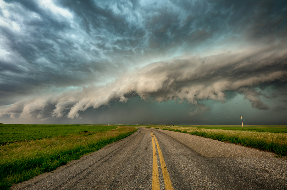
4:00 – Storm packing very strong winds, snapped off 9 power poles around this time along the 21 highway.

4:04 pm – Rotating wall cloud near Big Stick Lake. You can see ‘Schmidt Flour’ in the bottom right corner.
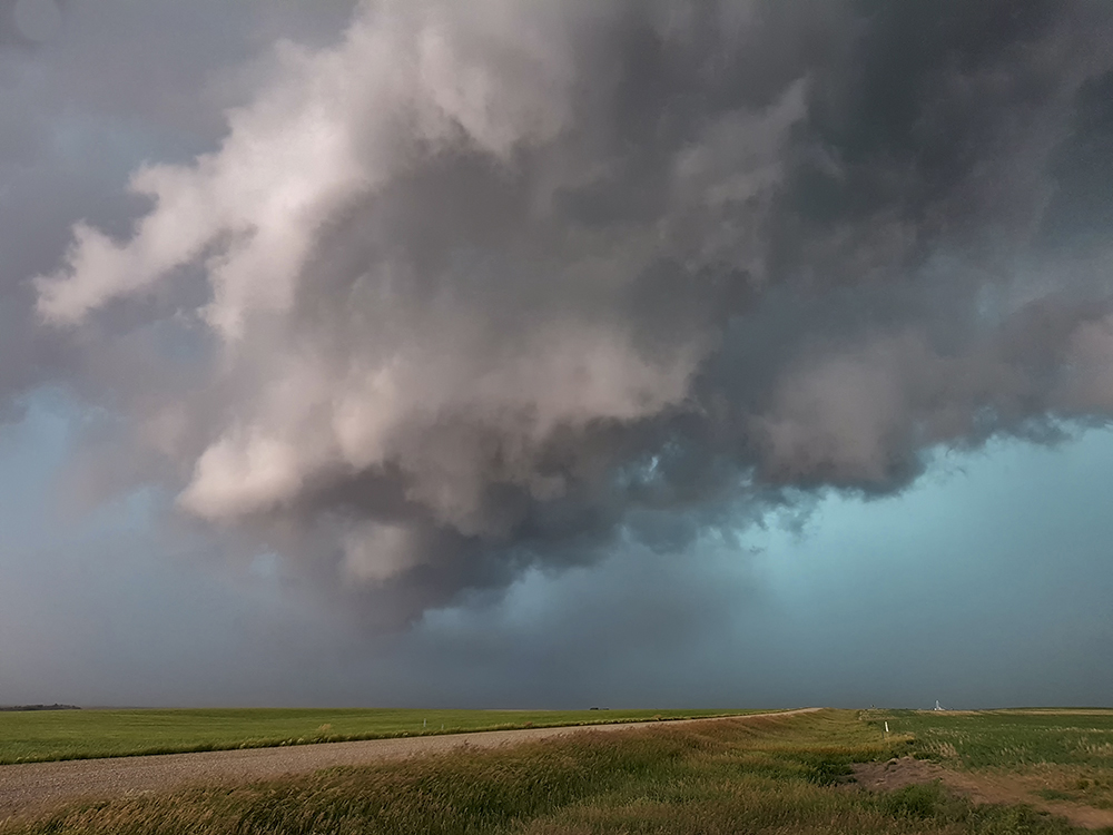
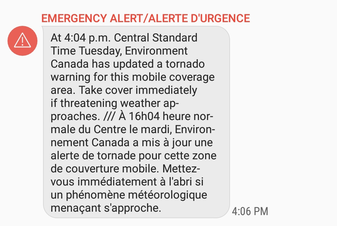
4:04 pm And…. another tornado warning
4:12 pm Funnel cloud photos posted to twitter
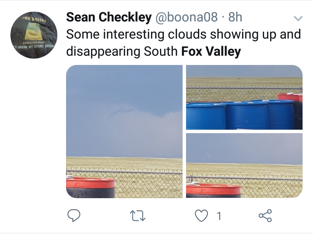
4:15 Possible Tornado between Fox Valley and Big Stick Lake
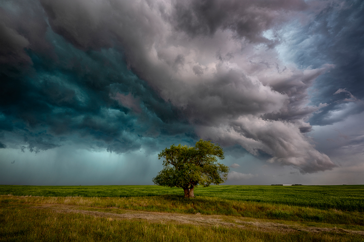
4:19 Well I had to stop for this photo anyways. I took this one in record speed considering the dangerous storm on our tails. “The Saskatchewan Tree” one of my favorite storm photos and available for purchase by clicking here
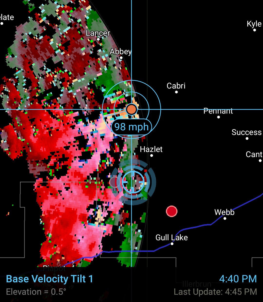
4:40 – some serious winds in this storm near Abbey, Cabri and Hazlet Saskatchewan. Storm is outflow dominant now, tornado warnings dropped.
A lot of rain heading for Swift Current. We decided to let the storm pass and head toward home, a short distance away (compared to most storm chases)
Here is another map of the area giving a better indication of where we were and showing my photos at the time of the Tornado. I’ve circled Leader as that is where I live.
This storm stretched for 192 miles (310 km) North to South bringing a lot of much needed rain to a very large area as the storms moved east.
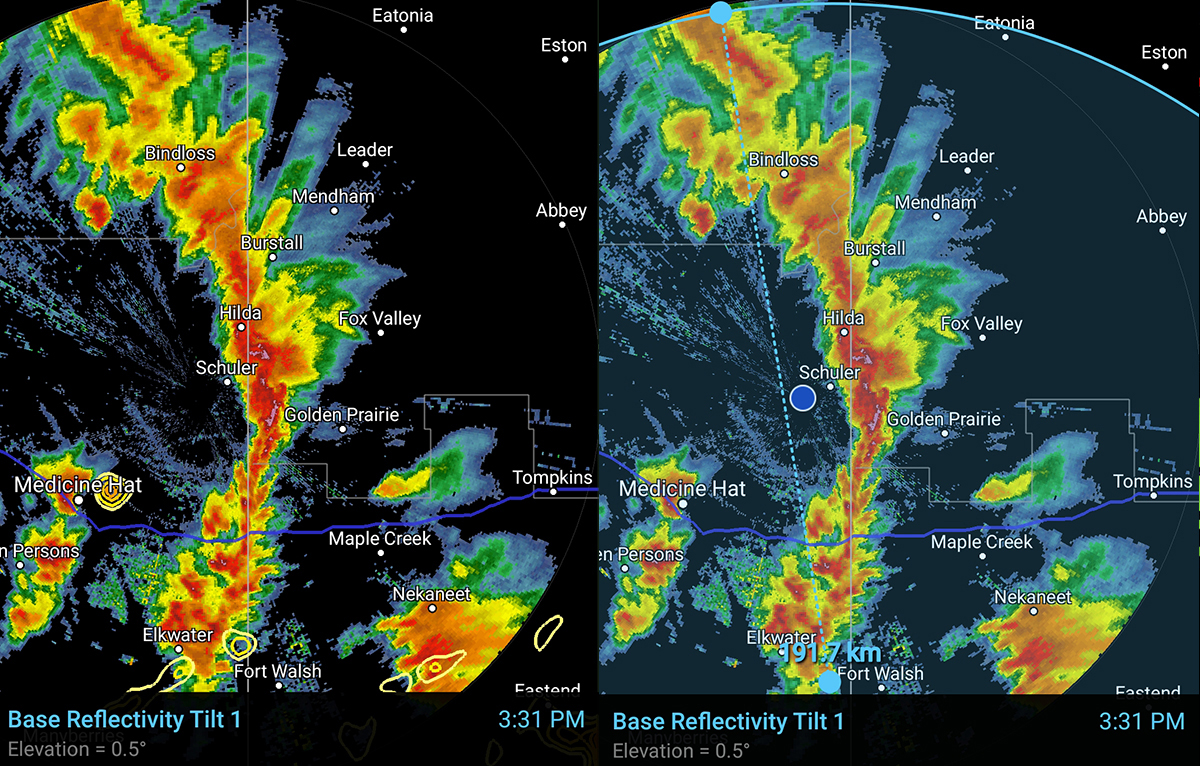
A simulated reflectivity product (predicted radar) from the Nam3K model taken the day before. Looks like it got it right this time.

I will be posting a follow up to this story later this week showing some tornado damage I documented at a yard West of Golden Prairie. As of this writing Saskatchewan has had 16 tornadoes this year. Oklahoma has had 18 tornadoes.
If you want to follow along in real time the next time I am chasing storms, feel free to follow me on Twitter by clicking here


You are my hero at this moment! What I would not give to sit beside you on a storm chasing adventure.
Hi Ryan-very good chase. I have been following your twitter this year, I am not a tweeter though-keep up the good work.
Awesome documentation, Ryan!!!! Thanks for doing this … I could almost feel the excitement with the story!!! Looking forward to next segment!
very interesting…this took me back many years .Praying with love..